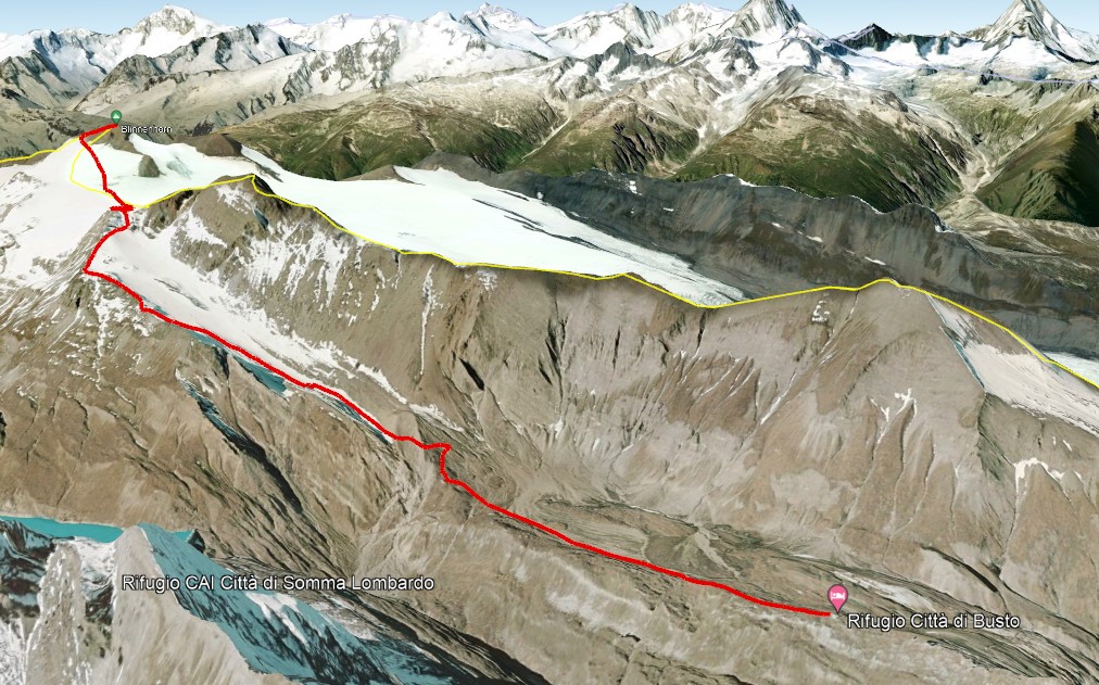
Blindenhorn ascent (via Siedel) - 3375m
Ascent to the valley's highest mountain via Siedel glacier. More challenging route with glaciars crossing. It includes unmarked trails. Professional alpine gear and moutaineering experience required.
Download GPS route
- Trail Numbers
G41-G39
- Time
3h15m
- Level
Expert+Glacier crossing experience
- Elevation gap
↑ 870m
- Distance
5.3km
